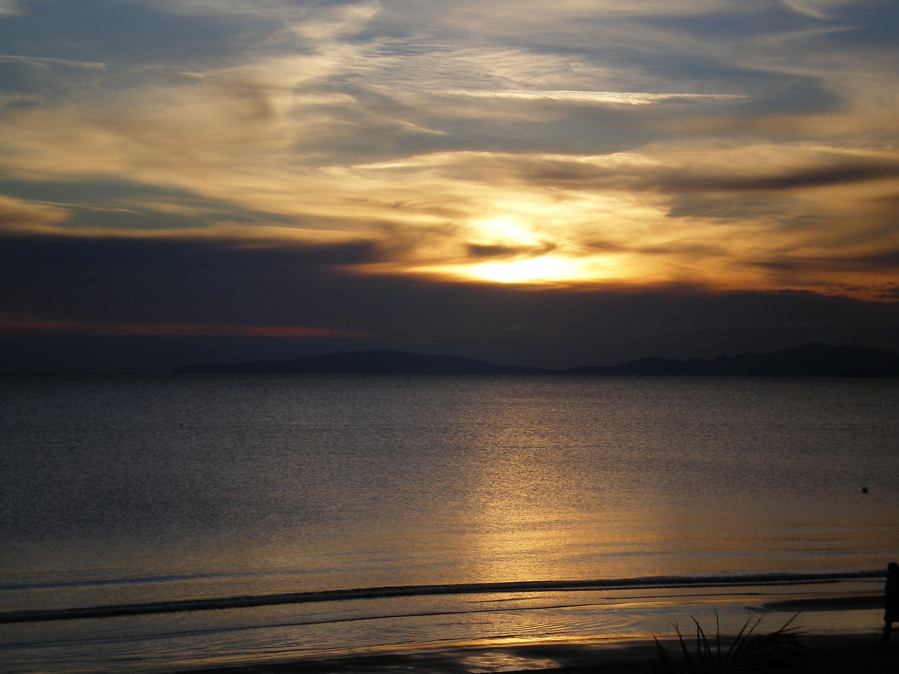
The Gulf of Follonica (formerly the Gulf of Piombino) is an inlet of the Tyrrhenian Sea, which extends between the southern end of the province of Livorno and the northern part of the province of Grosseto, covering sections coasts of the municipalities of Piombino, Follonica, Scarlino and Castiglione della Pescaia, but also including in this territorial area the neighboring municipalities that do not directly overlook the sea such as Massa Marittima and Gavorrano, but closely linked to the former.
It is bordered to the north-west by Punta della Rocchetta, a rocky appendix of the Piombino promontory between the city and the port of Piombino, while to the south-east it is closed off by the promontory of Punta Ala, the islet of Sparviero and the Porchetti rocks which emerge in the stretch of sea between them included.
A stretch of the gulf in the Livorno Maremma
The stretch of the gulf that affects the southern end of the province of Livorno, called Maremma Livornese (or the historic Maremma Pisana) in the eastern part of the municipal area of Piombino, is characterized by the initial presence of the port, marked by many lighthouses, followed by a smaller basin which in ancient times coincided with the original mouth of the Cornia river.
Proceeding eastwards, a wide stretch of sandy shore begins with colors tending towards white which, near the Torre del Sale, is interrupted by the current estuary mouth of the Cornia river.
The coast continues eastwards, retaining the characteristics of fine white sand, until it reaches the characteristic Torre Mozza di Piombino, built right on the shoreline. Shortly before, there is a small tourist mooring, the Port of Carbonifera.
A stretch of the gulf in the Grosseto Maremma
The stretch of the gulf that affects the province of Grosseto initially coincides with the entire Follonichese coast, which gives the gulf its name, where the beach tends to become amber in color and to shrink due to the phenomenon of coastal erosion, which has been very active in recent decades.
To the east of the town of Follonica, the beach is bordered in the immediate hinterland by the Scarlino pine forest, which extends into the coastal stretch of the municipality of Scarlino up to the locality of Puntone, where the modern tourist infrastructure of the port of the same name stands. The pine forest is partially interrupted by the pier which belongs to the industrial establishments present in the Scarlino plain.
Beyond the locality of Puntone rise the first offshoots of the Bandite di Scarlino promontory, which from Portiglioni to the mouth of the Alma, give rise to a high and rocky coastal stretch, with some suggestive coves, including cala di Terra Rossa, Cala Martina (rocky), Cala Violina (fine white sand) and Cala Civetta (also sandy). Punta Francese divides Cala Martina from Cala Violina, while Punta le Canne separates Cala Violina from Cala Civetta, closed to the south by the homonymous hillock on which the Torre Civette stands.
South of the mouth of the Alma river begins the coastal stretch of the municipality of Castiglione della Pescaia, of which the gulf bathes only the northern part. The coast again becomes low and sandy with golden colors for several kilometres, forming the beach of Capanna Civinini, with a pine forest behind it, which ends near the promontory of Punta Ala.
Beyond Cala del Porto, Punta Ala has rocky coasts which form the northern offshoots of the vast promontory, where the Hidalgo tower and the castle of Punta Ala stand on the points of the same name, between which is located the well-equipped port of Punta Ala.
The promontory of Punta Ala also has appendages in the sea with the outcropping Porchetti rocks and the islet of the Sparviero, on which the historic Appiani tower rises, which mark the southern limit of the Gulf of Follonica.


