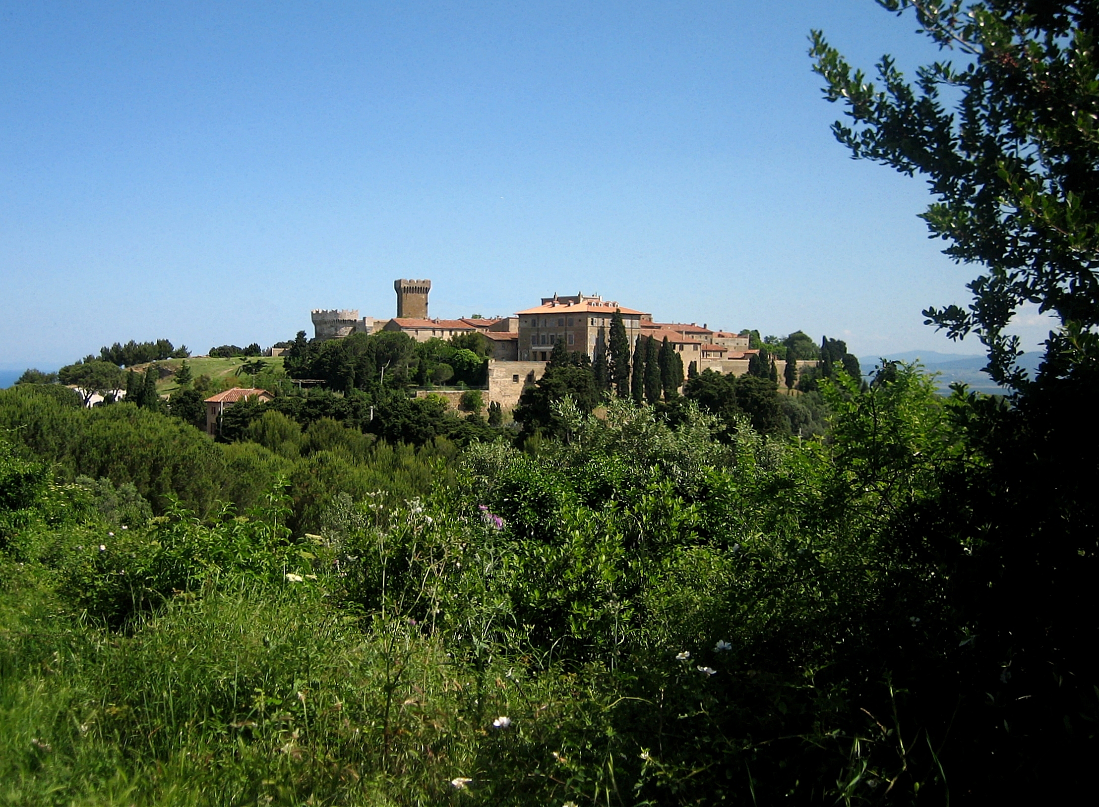
The Val di Cornia constitutes the southern extreme edge of the province of Livorno, in the Maremma Piombinese area; it extends in the area between the Maremma Livornese (historically Maremma Pisana) and the Maremma Grossetana near the mouth of the river of the same name.
The territory is mainly hilly in the hinterland where it creeps towards the last south-western offshoots of the Metalliferous Hills and enters the southern part of the province of Pisa skirting the Val di Cecina; on the other hand, it is flat along the coast, with the exception of the promontory of Piombino which separates the city of the same name (which is the capital and seat of the district) from the Gulf of Baratti, on whose northern summit the village stands medieval town of Populonia which developed near the pre-existing Etruscan city with its necropolis.
Along the coastal strip, the area includes the municipalities of Piombino and that of San Vincenzo, while in the hinterland it involves the municipalities of Campiglia Marittima, Suvereto, Sassetta, Monteverdi Marittimo.
The area is characterized by archaeological areas from the Etruscan era, among which those of the Gulf of Baratti and Populonia stand out, and by the historic centers of the Middle Ages. Also notable is the richness of the subsoil, exploited for the numerous mines since Etruscan times.
Historically, the Val di Cornia in medieval times was part of the Republic of Pisa until 1399, the year in which the Appiani family founded the Signoria, then the Principality of Piombino, which included, in addition to this territory, the Val di Pecora, Val Bruna and the islands of Elba, Pianosa and Montecristo. After the fall of Napoleon (the Principality was governed by Elisa Bonaparte), the territory was annexed to the Grand Duchy of Tuscany, until the establishment of the Italian State.
Well known nationally and internationally are the Val di Cornia DOC wines, such as the red Val di Cornia.
The production area of the d.o.c. Val di Cornia is a large area that includes the municipalities of Suvereto, Piombino, Campiglia Marittima, San Vincenzo and Sassetta in the province of Livorno and the municipality of Monteverdi in the province of Pisa. The wines produced in the territories of the municipality of Suvereto are entitled to the denomination of sub-area “Suvereto”.
Climate
The climate of the Val di Cornia is particularly mild along the coast, where rainfall is around values close to 600 mm per year, while in the hinterland both the temperature range and the rainfall tend to increase.
Reclamation
The Val della Cornia, in what was then the Pisan Maremma, was the subject of sporadic and limited reclamation and water regimentation operations. The Cornia river, with its torrential regime, was the main author of the periodic floods that scourged the surrounding lands. As early as the seventeenth century, its final stretch was rectified into an almost straight canal, known as Fosso Reale from the “Bandita delle mare”. The other aspect that largely frustrated the correct reclamation of the land in the lower Val della Cornia was the presence of the international border of the principality of Piombino which, downstream and upstream, did not take joint measures to improve the water situation in the area.
Even the Fosso Cosimo, excavated at the end of the sixteenth century, parallel to the final course of the Cornia with the function of spillway, was practically unused because it was filled with vegetation and debris. The Fossa del Diavolo was excavated to collect the wastewater from the Piano di Roviccione and the Bandita delle mare and, crossing the Fosso Cosimo, it entered the Piombino border. The Fossa de La Cornaccia descended towards the pond of Piombino from the bandit of Capannone or delle Mare, formerly known as the Banditaccia, and skirting the bandit of colts (polledri) it reached the ford of Sasso until it bordered on the Lavoreria estate before crossing the border from Piombino. The Fosso Rocchio or Verrocchio instead ran north of the aforesaid bandit, while the Fossa Calda, excavated in 1525, starting from the Caldana lake near La Venturina, crossed the bandit of colts to then bend westward and flow into the Mulinaccio Marshes until it fed the waters of Lake Rimigliano or Campiglia. Finally, the Prezzanese or Pero Sanese ditch collected the waters of the Ulceratico plain and descended from the Via di Citerna below Campiglia up to the Cornia.


